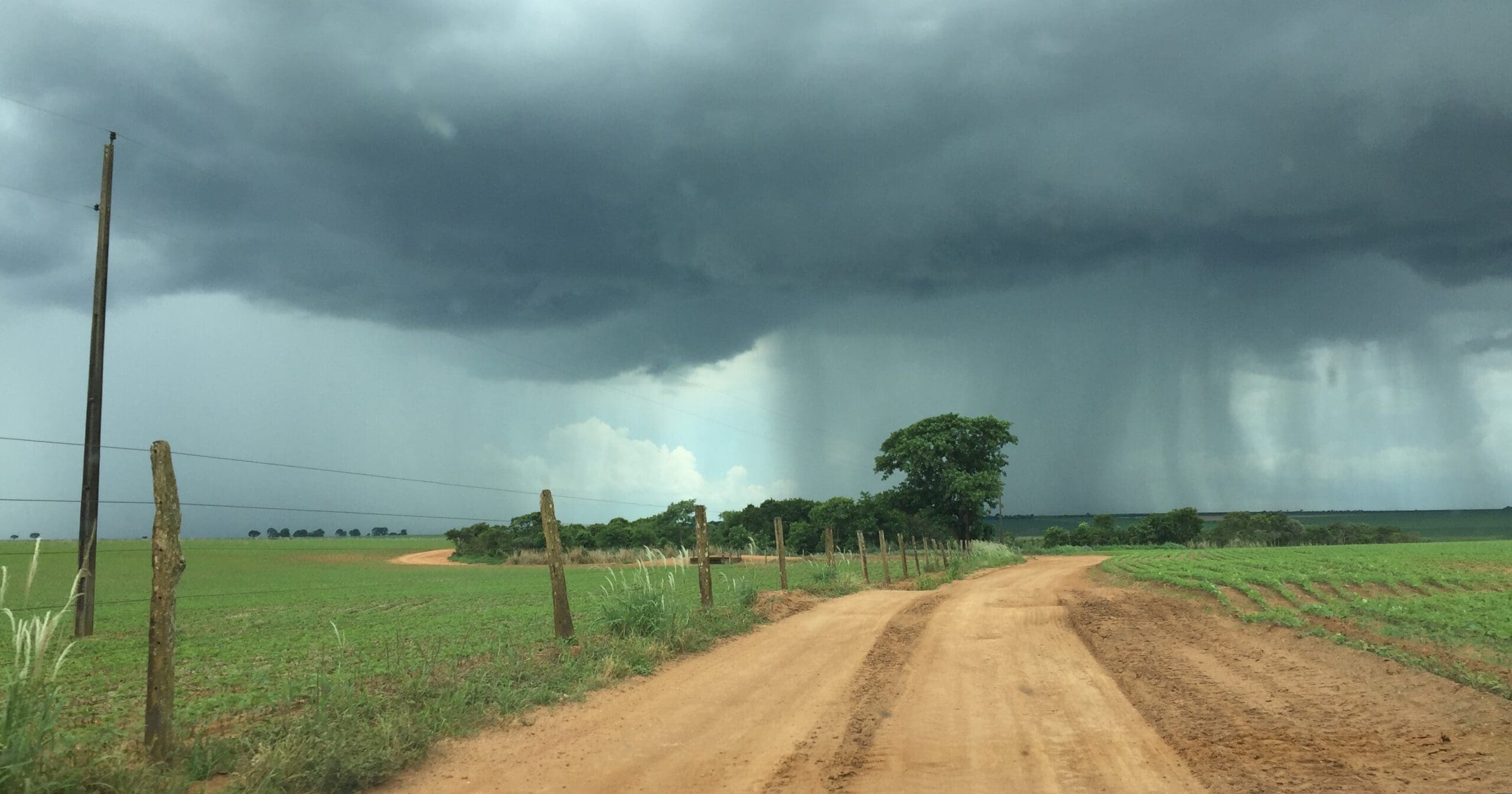
“Super” El Niño & Upcoming La Niña
Earlier this February, the ongoing El Niño effect escalated into one of the strongest global weather events in history, earning it the rare designation of “Super El Niño.”
In Central America, El Niño results in excessive rainfall along the Caribbean Coasts, whereas the Pacific Coasts are expected to remain dry. Rainfall is expected to be particularly intense along the coast of Ecuador, northern Peru, and southern Chile.
In northeast Brazil, precipitation is likely to reduce over the next few weeks, resulting in a drought that has the potential to aggravate preexisting dry conditions within the Amazon rainforest.

Rainfall in Argentina, Paraguay, and Uruguay is expected to increase, along with the temperatures within those regions. Temperatures in southern Brazil are also expected to increase – a factor that plays a vital role in the early production stages of orange oil.
Since the end of November, a large “bubble” of cold ocean water has been forming in the western section of the Tropical Pacific at very deep levels. This bubble began moving eastward during early February, and current trends indicate that this bubble with mix with warmer waters in the central and eastern portion of the ocean over the coming weeks.
Climate scientists expect this empowered El Niño phenomenon to be quite short lived – the weather pattern has already showed signs of weakening from its recent power, and a La Niña watch was recently issued by the Climate Prediction Center (CPC). Sudden atmospheric flips from El Niño to La Niña are not unheard of, though they often result in a more intense hurricane season. Berjé will continue to monitor weather conditions around the world and provide updates on affected products as they become available.
See all info of:


